

Trick-or-treating may be the best part of Halloween — but not all neighborhoods are equal when it comes to candy distribution.
That's why Nextdoor, a social network aimed at connecting neighborhoods, rolled out new mapping features to help users plan the best trick-or-treating routes.
See also: The unofficial Halloween candy exchange rate
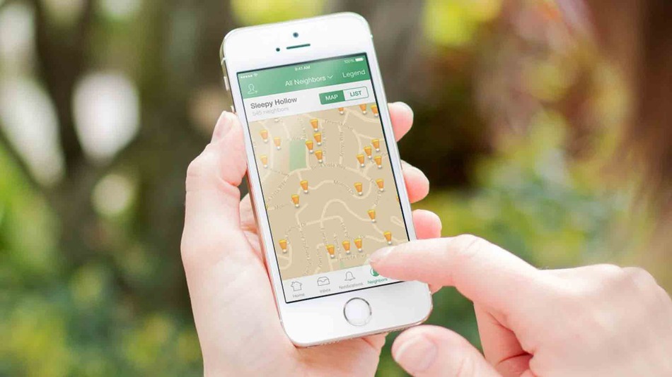
The goal of Treat Map is to help parents identify the best areas for visiting Halloween night. Users indicate whether they plan to give out candy or set up a haunted house. This information then appears on the app's main neighborhood map.
"We’re taking the guesswork out of Halloween to ensure you find the best, most convenient route possible for your trick-or-treaters." the company wrote in statement.

Image: NextDoor
Nextdoor, available for iOS, Android and on the web, requires users to verify their addresses so that neighborhood information, including the Treat Map, is only viewable by other people who live there.
For those who don't use the app or who live in an area not frequented by trick-or-treaters, NextDoor also created a series of citywide heat maps that identify the neighborhoods that give out the most candy. Maps are available for 20 cities around the country, including Atlanta, Dallas, Los Angeles, Phoenix and Seattle.
Have something to add to this story? Share it in the comments.